Redefining Aerial Utility in Moultrie
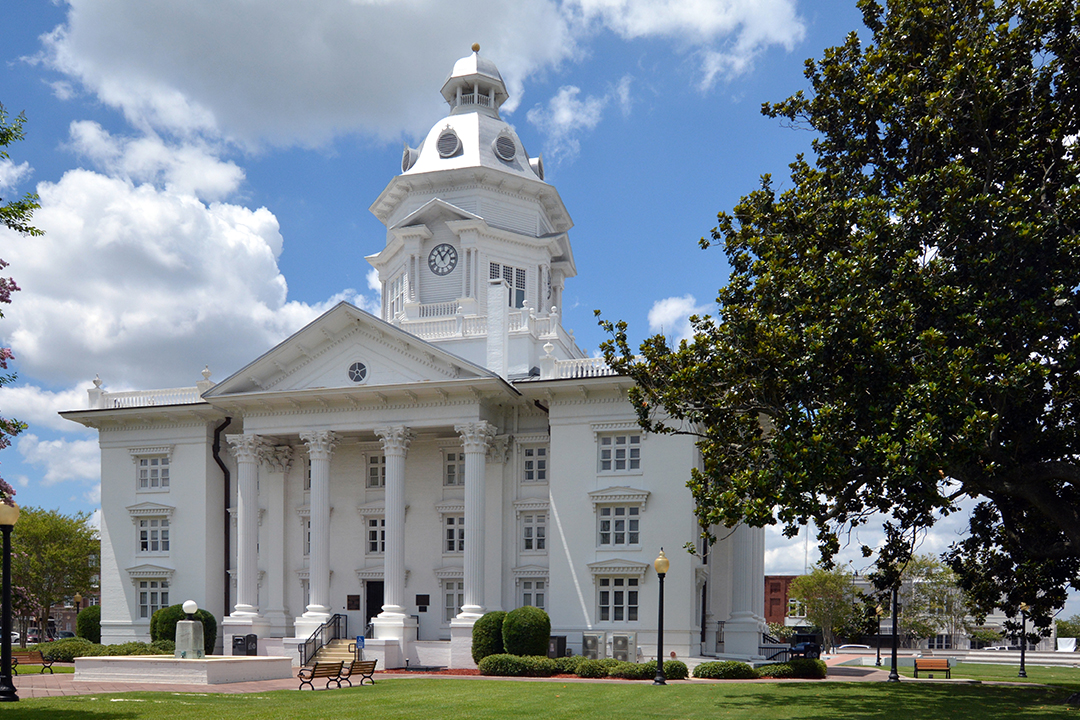
Welcome to the regional hub for Fair Lifts Unmanned Aerial Services, situated in the very center of the "Agricultural Capital of the South." In a region where the legacy of hard work meets the demands of a global market, we believe that integrating cutting-edge robotics with local geographical knowledge is the only way to drive sustainable growth. Moultrie serves as more than a historic landmark; it is the vital engine powering Colquitt County’s diverse industrial and farming landscape. From the sprawling produce operations in Doerun to the tactical manufacturing expansion near Spence Field, Fair Lifts provides the sophisticated technical scaffolding that allows our regional partners to outperform the competition.
Our philosophy moves beyond mere observation—we focus on operational results. For too long, the drone industry has been associated with simple photography that lacks true commercial value. Fair Lifts is rewriting that script. We are transitioning unmanned aerial vehicles (UAVs) from recreational novelties to indispensable pieces of heavy infrastructure. With a background steeped in aviation safety and complex logistics, we ensure every flight over Moultrie is handled with rigorous professionalism and an intimate understanding of our South Georgia environment.
Stewards of the Colquitt County Landscape
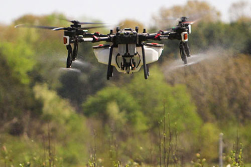
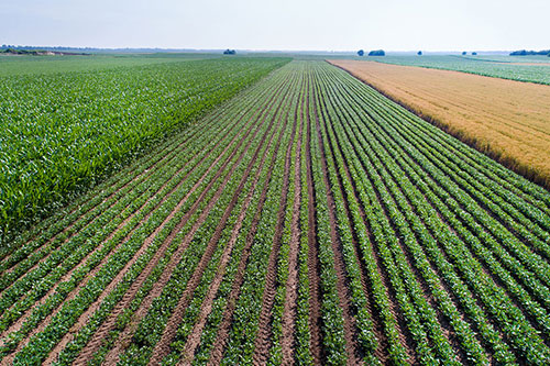
Agriculture is the lifeblood of the Moultrie economy. Local producers oversee some of the most fertile cotton, peanut, and vegetable tracts in the nation. Yet, the Coastal Plain’s characteristic sandy loam and heavy humidity present significant operational hurdles. When the sudden afternoon thunderstorms of Colquitt County turn fields into saturated terrain, traditional ground rigs are sidelined while pests and diseases thrive. Fair Lifts steps into the gap. We specialize in "all-weather access." Our heavy-payload spray drones deploy when ground machinery cannot move, ensuring that vital crop protection reaches the canopy exactly when the agronomic window is narrowest.
Our mission also extends to the delicate ecosystems that define South Georgia. The Ochlockonee River basin requires expert management to remain a healthy ecological corridor. Our environmental services branch focuses on the surgical eradication of invasive threats like Cogongrass and Phragmites, avoiding the soil compaction and broad-spectrum damage caused by heavy land-based equipment. By utilizing survey-grade multispectral sensors, we identify problem areas with sub-decimeter precision, ensuring our interventions are both effective and environmentally sound. We aren't just operating in Moultrie; we are investing in the long-term health of our home.
Precision Geospatial Data for a Growing Region
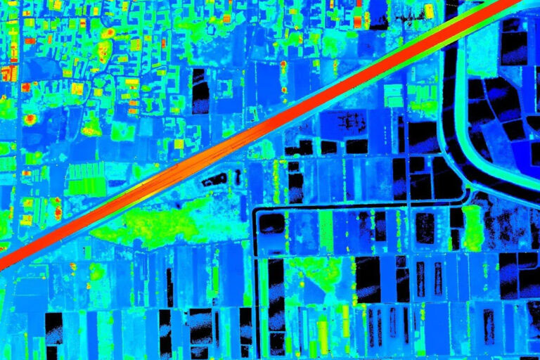
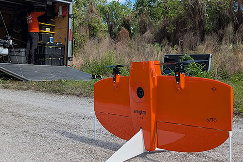
As the Moultrie skyline evolves, the necessity for rapid, engineering-grade data has never been higher. Whether overseeing new industrial development near the Sunbelt Expo grounds or performing critical maintenance checks on regional utility grids, there is no room for approximation. Fair Lifts Survey & Mapping Services provides the exact horizontal and vertical metrics required for modern engineering. Utilizing Blue UAS-vetted platforms—such as the WingtraOne Gen II—and high-resolution Riegl miniVUX LiDAR, we can penetrate even the densest South Georgia timber stands to deliver clean, actionable terrain models.
Furthermore, we understand that data security is paramount for our Moultrie clients. In an era where digital integrity is a constant concern, we prioritize the safety of your infrastructure information. Our Blue UAS certification confirms our compliance with the strictest Department of Defense standards for encrypted data handling and supply chain transparency. When we survey a pipeline or substation in Colquitt County, your proprietary data is shielded from the moment of capture. We don’t just deliver maps; we provide the certainty that comes with secure, high-level intelligence.
We invite you to discover how Fair Lifts is transforming the economic and technological landscape of Moultrie, GA. Our specialized team of agronomists, project leads, and certified pilots is ready to solve your most complex logistical hurdles. In Colquitt County, we don’t just watch the future arrive—we command it from the air.
Regional Footprint
Local Mobilization
Our regional crew is based locally, providing rapid sub-24 hour response times for Colquitt, Tift, Mitchell, Brooks, and Worth counties.
Request Local Response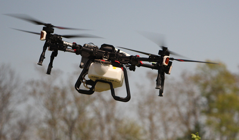
Ready to Start Your Project?
Discuss your specific goals in Moultrie with a regional expert. We provide rapid mobilization and precision scoping for every regional client.